
Illustrated Glossary
Geocoding
Release date: February 9, 2022
Definition
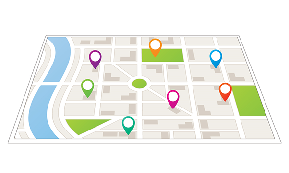
Geocoding is the process of assigning geographic identifiers (codes or x, y coordinates) to map features and data records. The resulting geocodes permit data to be linked geographically to a place on the earth.
For more information on geocoding, consult the Dictionary, Census of Population, 2021.
- Date modified: