
Illustrated Glossary
Cartographic boundary files (CBFs)
Release date: November 15, 2017
Definition
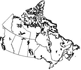
Cartographic boundary files (CBFs) portray the boundaries of standard geographic areas together with the shoreline around Canada. Selected inland lakes and rivers are available as supplementary layers.
For more information on cartographic boundary files, consult the Dictionary, Census of Population, 2016.
- Date modified: