
Health Regions: Boundaries and Correspondence with Census Geography
Map 2
Prince Edward Island Health Regions, 2018
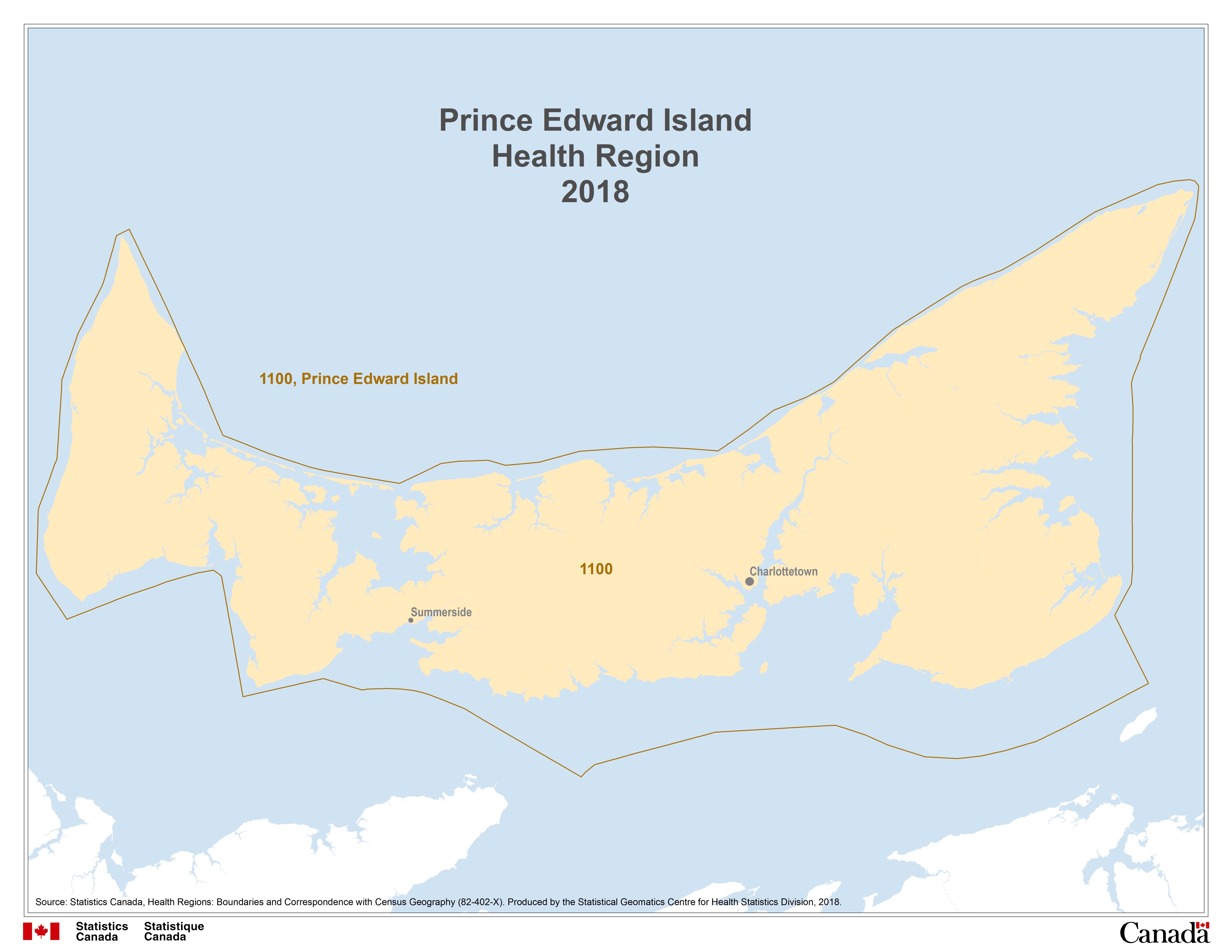
Description for Map 2
This map shows the one health region in Prince Edward Island. Prince Edward Island, code 1100.
Health regions are outlined by a thin black line and labeled in black text with their four digit health region code.
Water features are displayed on the map for reference purposes. Linear water features appear on the map as a thin blue line while water bodies are shaded blue. Some cities are labeled in black text, for reference purposes.
Source: Statistics Canada, Health Regions: Boundaries and Correspondence with Census Geography (82-402-X). Produced by the Statistical Geomatics Centre for Health Statistics Division, 2018.
- Date modified: