
Census tract tutorial, part 2

Archived Content
Information identified as archived is provided for reference, research or recordkeeping purposes. It is not subject to the Government of Canada Web Standards and has not been altered or updated since it was archived. Please "contact us" to request a format other than those available.
Census tracts (CTs) are created using adjacent dissemination blocks (DBs) as building blocks. The rest of this tutorial illustrates the five main rules that must be followed when delineating CT boundaries.
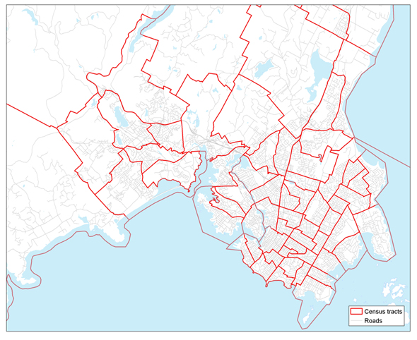
Rule 1: Census tract boundaries must follow permanent and easily recognizable physical features.
Rule 2: The population of a CT should range between 2,500 and 8,000, with a preferred average of 4,000.
These first two rules are demonstrated in this map of the Victoria (B.C.) census metropolitan area (CMA). CT boundaries clearly follow rivers and streets within the CMA limits. Furthermore, since the size of a CT is based on its population rather than on its land area, those CTs that are in more densely populated areas are generally smaller than those in more sparsely populated areas.
Census tracts in the census metropolitan area of Victoria (British Columbia), 2011 Census
Source: Statistics Canada, 2011 Census of Population.
- Date modified: