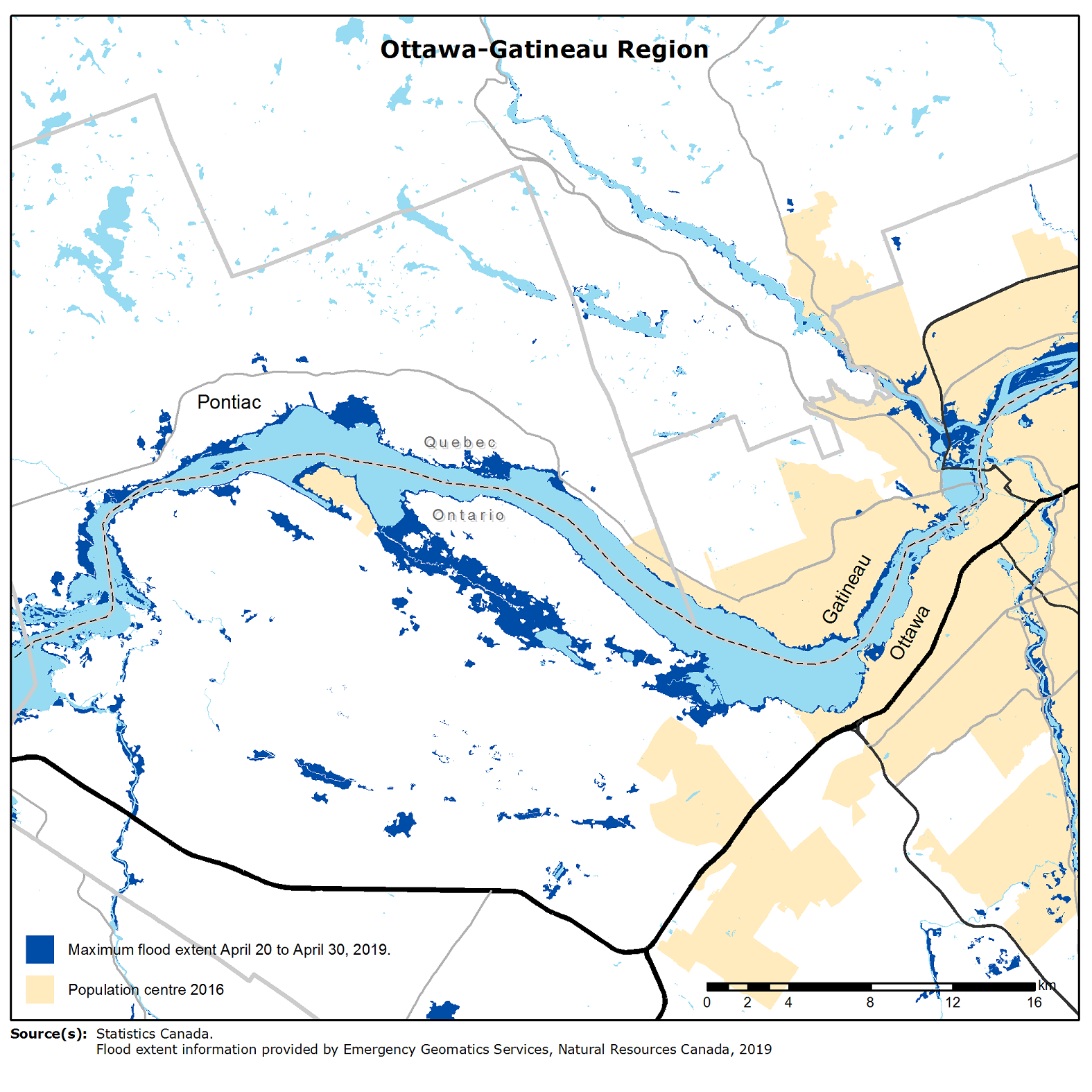
Map 3
Ottawa–Gatineau region

Map description
The title of the map is "Ottawa–Gatineau region"
The map shows the maximum extent of flooding occurring in the Ottawa-Gatineau region from April 20 to 30, 2019.
On this map, the maximum flood extent is shaded dark blue, while permanent water is shaded light blue.
The Trans-Canada Highway is indicated by a thick black line, major highways as thin black lines, and minor highways as thin medium gray lines.
Population centres are coloured in beige and census subdivision boundaries are indicated by thick, medium gray lines. Census subdivisions are labelled in black text. A black dotted line represents the provincial boundary between Ontario and Quebec.
Source(s): Statistics Canada. Flood extent information provided by Emergency Geomatics Services, Natural Resources Canada, 2019.
- Date modified: